News

Tens of cities reached in one month

In just one month, SmartRoadSense has connected tens of cities which are hundreds of miles apart from each other, including Ancona, Bologna, Torino, Verona, Milano, Perugia, Mantova, Ravenna, and Genova.

In three weeks

After three weeks from the Italian release of SmartRoadSense, the 0.5% of Italian roads has been already visited and classified by our users. Thank you!

This corresponds to more than 4,000 kms out of the 800,000 km of the Italian road network.

Much road has been traveled, but much more remains!

In two weeks

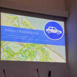
Only two weeks have passed since the launch of SmartRoadSense in Italy.

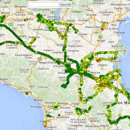
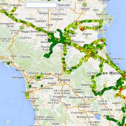
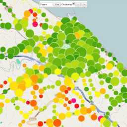
Thanks to our first 150 users, SmartRoadSense has covered more than 3,000 kms of road, it has processed more than 200 millions of acceleration readings, it has computed more than 700,000 roughness estimates, contributing to the online interactive map, and it has made available more than 14 MBs of open data online.

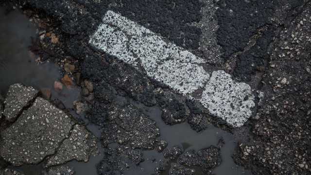
The results achieved are more than encouraging and describe the full potential of this tool and the strength of the active participations by citizens in monitoring public assets, such as road infrastructure.

Help us, it’s easy: just download the Android app, install it, attach your smartphone to the car’s dashboard, and start recording every time you drive your car.

Apps for iOS and Windows Phone are under development.

Here we go!

It’s all set: the mobile apps are available, the website is up, the slides are ready.

SmartRoadSense will be officially released during the “Open Data Day”, in a public event in the municipality hall of Pesaro.

On the same day, the city of Pesaro also announced that it will officially adopt SmartRoadSense for the systematic monitoring of its road network. Tests conducted during the past months have successfully mapped 75% of the network.

Read more…