How does it work?
SmartRoadSense is a crowd-sensing system for the continuous monitoring of road quality.
The system makes use of simple accelerometers and global positioning sensors (GPS) found on any modern smartphone in order to detect and classify the roughness of roads. Data is collected and processed on device by a mobile application. It is then transmitted anonymously to the SmartRoadSense back-end system that maps and aggregates information of multiple users in order to produce an interactive, continously updated, map of road quality.
In detail
As shown in the video, SmartRoadSense’s data collection process can be split up into 4 phases.
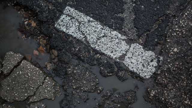
Road sensing
After installing the mobile application, the user can start the sensing process at any time. While recording, the app will collect data from the smartphone's triaxial accelerometers and its GPS. Data collection can be performed in the background and runs at high sampling rates (it may significantly affect power consumption).
The gathered accelerations feed our magic road roughness classification algorithm™, which generates a numerical “roughness index” (where 0.3 or lower indicates a smooth road and anything over 1.5 is pretty bad).
Data transmission and mapping
Data computed and collected by the user’s smartphone is handled in order to prevent any kind of user identification. Our users’ privacy is of utmost importance to us and all data is ensured to be fully anonymous.
Once the anonymous roughness data is collected by the SmartRoadSense server, the data points are mapped to existing roads and streets. In order to do so we employ state of the art map matching algorithms and make use of road data provided by OpenStreetMap.
Aggregation and archiving
Each mapped road in our dataset is split up into chunks of approximately 20 meters of length. Individual user contributions are ascribed to one of these chunks and contribute to an aggregated roughness data point: distance from the mapped road, accuracy, and other factors are taken into consideration. Older contributions are also taken into account, but they are slowly archived when new data for the same road is gathered (their influence on the updated data point exponentially decreases in time).
This aggregation process is performed every 6 hours on average: your fresh contributions may take some time to appear among the final data.
Data publication and display
The final data set produced by SmartRoadSense is composed of a set of aggregated road roughness points associated to a geographical location (in terms of lat/long coordinates) and an OpenStreetMap road.
The data set is licensed using an open license and released through this website as an interactive map and as Open Data. We also provide programmatical access to the same live dataset, using a set of developer APIs. You are welcome to make use of the data.
Installation
SmartRoadSense is available for iOS and Android and can be installed on most smartphones or tablets. Check out the mobile applications and start monitoring your roads!